Mapping What Matters:
How Lidar Captures Detail, Distance and Change
From industrial upgrades to transport corridors and changing landscapes, the value of lidar lies in delivering the spatial measurements each mapping task demands.
An industrial retrofit can be delayed by pipework missing from the drawings. A railway upgrade depends on accurate measurements not only of the track, but of the structures surrounding it. In forestry, the terrain needed for planning may be hidden beneath vegetation. And at an active quarry, last month’s surface model may no longer describe the site.
These are different mapping problems, connected by a common requirement: a reliable geometric record of the physical environment at the level of detail, across the area and at the time the task requires. Lidar provides directly measured 3D geometry to meet that requirement. How the data is captured and used changes with the application.
Different Applications, Different Mapping Requirements
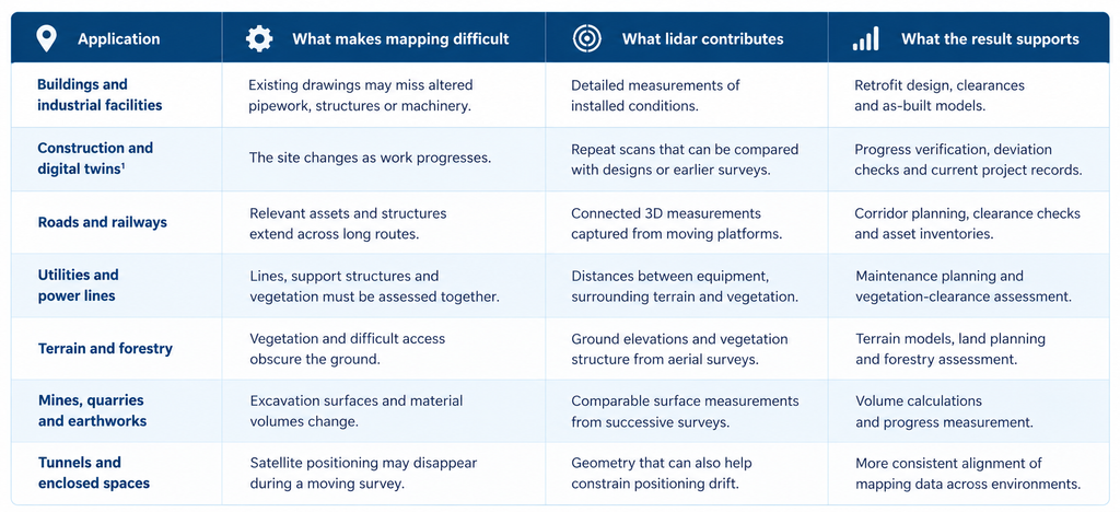
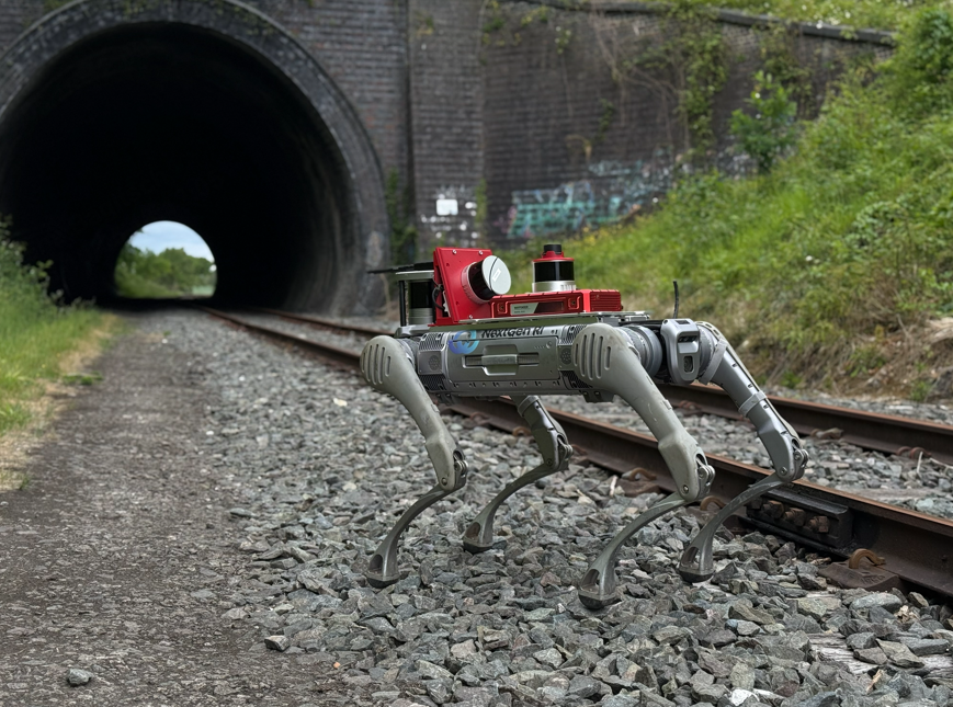
Lidar can be deployed in different ways depending on the environment and mapping requirements. Inside buildings and industrial facilities, scanners may be mounted on tripods, carried by hand or worn by an operator. Survey vehicles capture roads and railway corridors, while drones and aircraft map larger landscapes and vegetation from above. Wheeled and four-legged robots offer another option for collecting data in difficult-to-access areas or along repeated survey routes.
This flexibility allows mapping teams to adapt their approach to each project, whether the priority is capturing fine details, covering large areas or documenting changes over time.
Built Environments: Capturing the Detail That Design Depends On
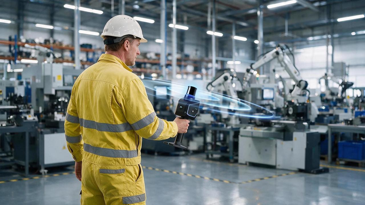
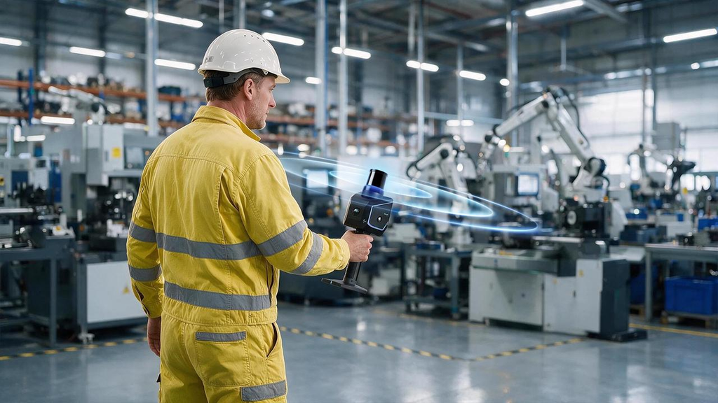
At a single facility, the priority is often the detail missing from existing plans. Lidar documents the positions of machinery, pipes and structural elements so engineers can assess how new equipment will fit before installation begins. That measured geometry also provides the basis for building information models and digital twins.¹
The value becomes clear when the site must remain in operation. Ahead of a baggage-handling upgrade at a major commercial airport, construction technology company Inkers used its LITHIC Pro handheld system with Hesai XT32 lidar to capture approximately 200,000 square feet of terminal space. According to the published project account, capture took fewer than 15 days instead of roughly 90 days using conventional workflows. Engineers could work from current site measurements rather than drawings that no longer reflected the building.
As mobile capture becomes more practical, finer detail is increasingly available without extensive scanner setups. Compact, high-resolution sensors such as Hesai’s MT series are relevant where edges, narrow gaps and overlapping installations need to be represented clearly in the resulting data.
High-detail lidar capture helps reproduce the structures and spatial relationships needed for engineering and reality-capture workflows.
Infrastructure Corridors: Keeping Measurements Connected Over Distance
The challenge changes when a survey leaves the boundaries of one site. Along roads, railways and utility networks, measurements must remain consistent over kilometres while capturing the features that affect the route. Vehicle-mounted lidar records trackside structures, bridges, junctions, poles and nearby vegetation as the platform moves.
This allows engineers to assess the space available around infrastructure, document assets for maintenance and identify where vegetation is approaching power lines. A connected survey also provides a baseline that can be revisited when upgrades are planned.
For mobile mapping, the scanner’s position is as important as the geometry it measures. Global Navigation Satellite System (GNSS) signals can weaken or disappear in tunnels or between tall buildings. Without reliable positioning updates, errors in the estimated route may accumulate and affect the alignment of the point cloud. Lidar can provide another reference by recognising geometric features in the surroundings.
The OXTS–Hesai WayFinder integration applies this principle: lidar observations support inertial positioning when GNSS reception is lost. This helps maintain a consistent mapping trajectory as a survey vehicle passes between open roads and covered environments, extending lidar’s contribution from measuring infrastructure to supporting the quality of the survey itself.
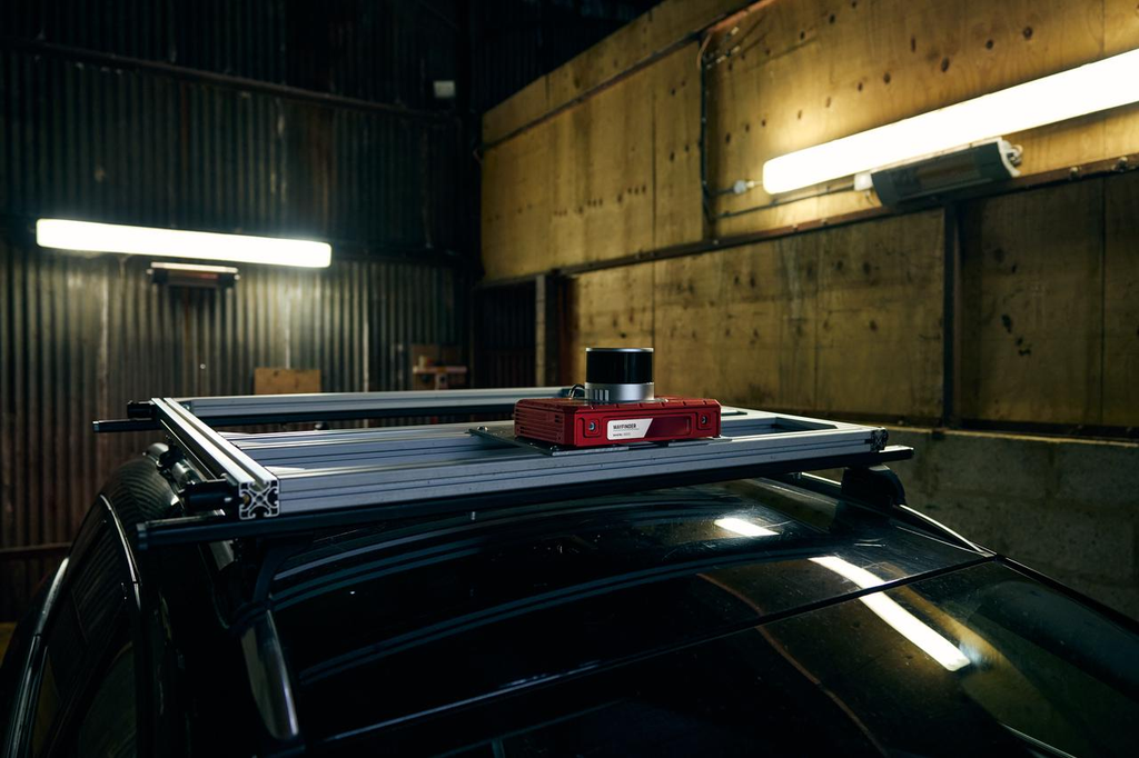
Image provided by OXTS
Landscapes and Earthworks: Mapping Beyond What Is Visible
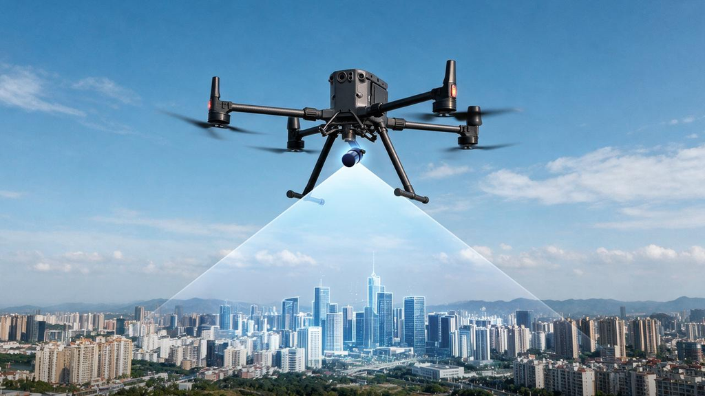
Beyond built infrastructure, mapping often needs to reach surfaces that are difficult to see or access. For topographic and forestry work, lidar carried by drones, helicopters or survey aircraft can measure vegetation and, through gaps in the canopy, collect returns from the ground below. Processing those measurements into a terrain model reveals landforms that aerial photographs may conceal. The same survey can also describe canopy height and structure.
In earthworks, the question shifts from what the ground looks like to how it is changing. Lidar on tripods, survey vehicles or drones can capture quarry faces, excavation areas and stockpiles at successive stages. Comparing these surfaces produces measured volume changes and progress records for planning material movement and the next phase of work.
Outlook: Mapping at the Pace of the Physical World
Across these applications, mapping is moving towards more detailed capture in motion, more frequent surveys and closer connections between measured geometry and working project records. Compact lidar is enabling higher-performance scanners to be integrated into portable and robotic systems, while improvements in processing make it easier to identify features and compare new measurements with existing data.
For mapping teams, the opportunity is to make accurate spatial information available at more stages of a project: before an installation, during an upgrade and as an environment continues to change.
As lidar combines greater detail with more flexible deployment, it is making professional mapping practical in more places and more useful over time.
¹ A digital twin connects a digital representation of a physical asset or environment with other relevant information and can be updated as conditions change. A point cloud alone is not a digital twin.
FAQs
What is lidar used for in surveying and mapping?
Lidar provides three-dimensional measurements of buildings, infrastructure, terrain, vegetation and earthworks. Surveyors and engineers use the data to create as-built models, check clearances, calculate volumes and compare sites across different surveys.
What platforms can carry lidar for mapping?
Mapping lidar can be used on stationary tripods, handheld and wearable scanners, survey vehicles, drones, helicopters, aircraft and mobile ground robots. The appropriate platform depends on site access, the area to cover and the detail the project requires.
How does lidar help mapping systems when GNSS signals are lost?
In tunnels or dense urban areas, lidar observations of surrounding structures can supplement inertial positioning when Global Navigation Satellite System (GNSS) signals are unavailable. This helps limit positioning drift and keep measurements aligned through the survey.
Can lidar map the ground beneath trees?
Yes. Airborne lidar can collect measurements from the ground through gaps in vegetation. Surveyors can use those returns to build bare-earth terrain models and use other returns to describe canopy height and structure.
How does lidar support digital twins?
Lidar supplies measured three-dimensional geometry of a physical site or asset. Combined with other asset information and updated surveys, it can form the spatial foundation of a digital twin used for planning, verification and ongoing management.