Making Existing Roadside Infrastructure Smarter – How intelligent perception helps cities better understand cyclists, pedestrians and urban traffic.
Across Europe, cities are investing in cycling infrastructure, pedestrian-friendly city centers, shared spaces and Low Emission Zones (LEZ). At the same time, they face growing pressure to improve safety, optimize traffic flow and better understand how people and vehicles move through these increasingly complex environments.
Many existing roadside technologies were designed to solve a single problem. Traffic counters count. Radar primarily measures speed and presence. Inductive loops detect passing vehicles. Together, they provide useful information, but only part of the picture.
As cities look to improve mobility, safety and planning, they need a more complete understanding of the traffic scene. The challenge is doing so without replacing infrastructure that is already deployed.
Transforming existing infrastructure into intelligent mobility platforms.
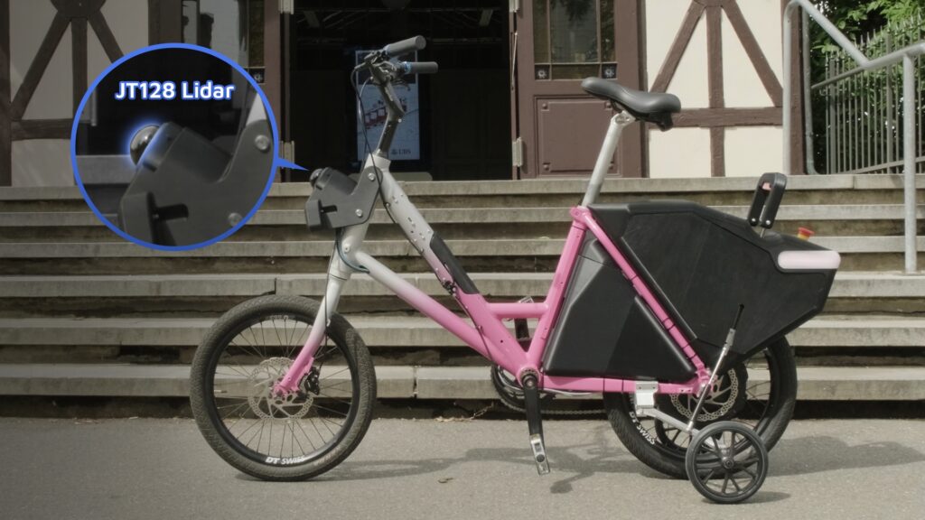
This is the thinking behind the collaboration between Bike-Facilities, Ursa Dynamics, FlashEye and Hesai Technology. Bike-Facilities provides roadside infrastructure already installed in cities across Europe. Ursa Dynamics developed the industrial hardware platform and system integration, FlashEye contributes the perception software, and Hesai provides the JT128 lidar sensor. Together, they have created an intelligent roadside perception solution that transforms existing roadside infrastructure into a powerful source of real-time traffic intelligence.
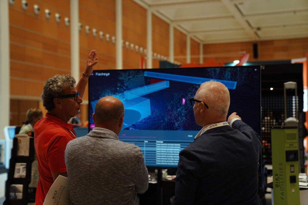
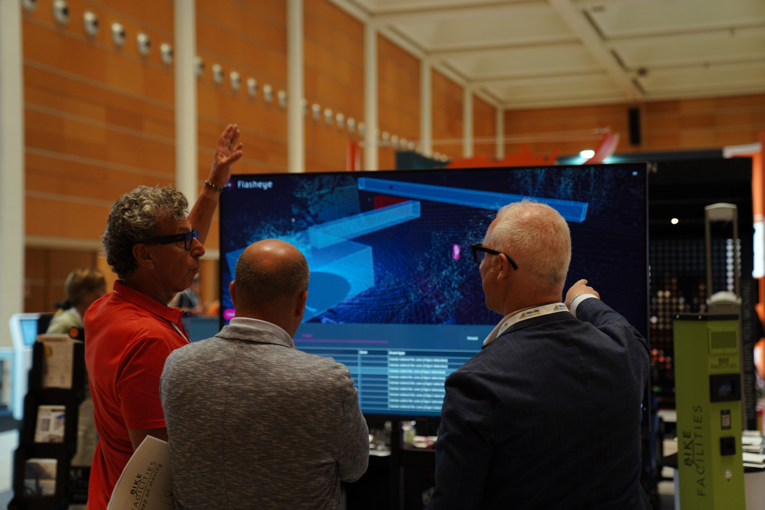
The solution was recently demonstrated at the VeloCity bike exhibition in Rimini, showing how advanced perception capabilities can be added to existing roadside installations without extensive civil engineering or entirely new deployments.
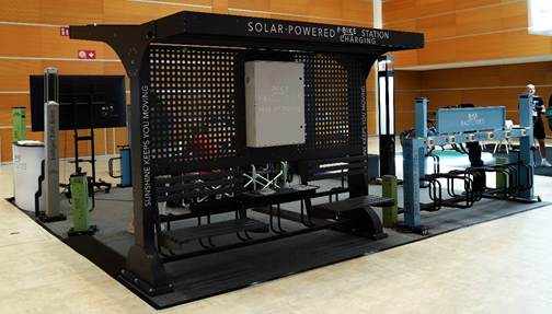
One installation. Multiple traffic insights.
Once deployed, a single installation can simultaneously detect cyclists, pedestrians, scooters, motorcycles, passenger cars, buses and trucks. It accurately determines position, speed, direction and trajectories while continuously understanding how every road user moves throughout the observed area.
This gives cities access to significantly richer information than traditional roadside systems and enables multiple applications from a single installation. These include bicycle lane usage analysis, cyclist counting, adaptive traffic light prioritization, detection of unauthorized vehicles entering bicycle streets or pedestrian-only areas, supervision of Low Emission Zones and restricted access areas, wrong-way driving detection, illegal parking detection on cycling infrastructure, intersection safety applications and anonymous traffic statistics for future mobility planning.
The ability to support so many applications from one installation is one of lidar’s biggest advantages.
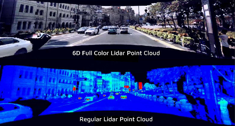
Where traditional people counters simply count pedestrians, radar primarily measures speed and presence, and inductive loops only detect passing vehicles, lidar provides a complete three-dimensional understanding of the traffic scene. It identifies different road users, determines their exact position, measures speed and direction, and continuously tracks movement across multiple lanes and traffic participants simultaneously.
Instead of installing multiple dedicated roadside technologies, cities can use a single perception platform to support a wide range of operational needs while reducing infrastructure complexity.
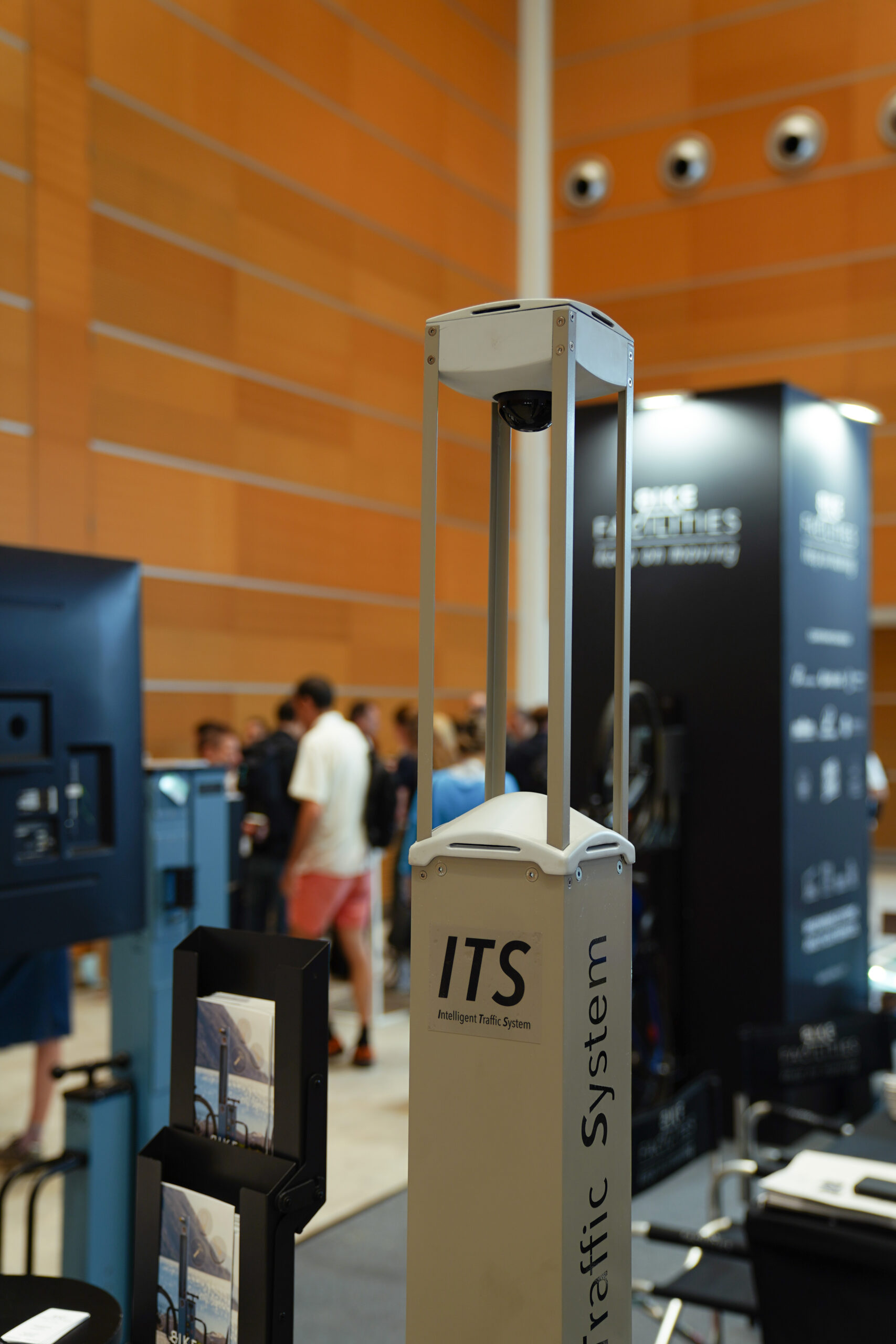
Real-time perception for safer and smarter cities
To deliver this level of perception in permanent roadside deployments, the solution uses Hesai’s JT128 lidar. Its combination of 360° coverage, high point cloud density, automotive-grade reliability, compact dimensions and excellent cost-performance makes it well suited to understanding complex urban environments day and night, even under challenging environmental conditions.
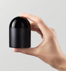
AI and lidar working together to understand urban mobility.
By combining complementary technologies, the partners have demonstrated that making cities smarter does not always require building something new. Sometimes the greatest opportunity lies in unlocking new capabilities from infrastructure that is already there, helping cities improve safety, optimize mobility and prepare for the next generation of intelligent transportation systems.
Q&A
Why use existing roadside infrastructure?
Existing roadside infrastructure is already deployed across many cities. Enhancing these installations with intelligent perception enables advanced traffic insights to be introduced more quickly and cost-effectively than building entirely new infrastructure.
What can a single installation do?
A single installation can simultaneously detect cyclists, pedestrians, scooters, motorcycles, passenger cars, buses and trucks while measuring their position, speed, direction and trajectories. This enables multiple Smart City applications from one location.
What kinds of applications does this support?
Applications include bicycle lane usage analysis, cyclist counting, adaptive traffic light prioritization, detection of unauthorized vehicles in restricted areas, Low Emission Zone supervision, wrong-way driving detection, illegal parking detection, intersection safety applications and anonymous traffic statistics for future mobility planning.
Why is lidar well suited to this application?
Unlike traditional roadside technologies that each provide only one type of information, lidar creates a complete three-dimensional understanding of the traffic scene. This enables multiple applications to operate from a single installation while providing richer and more reliable information for traffic management and urban planning.