Hesai Unveils MT Series Lidar, Delivering Ultra-High Spatial Resolution in the World’s Smallest Form Factor
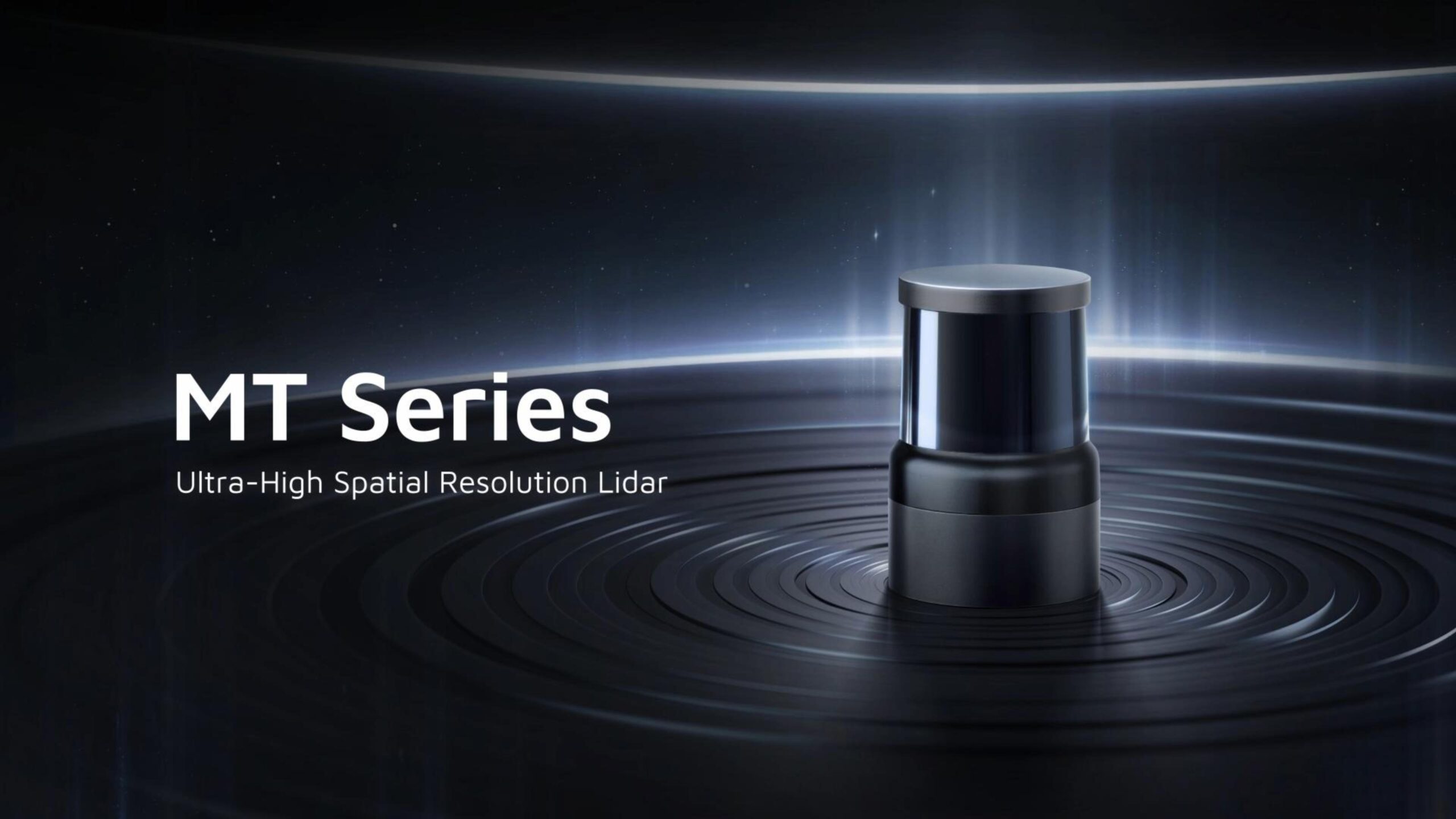
Today at INTERGEO 2026, Hesai Technology (NASDAQ: HSAI; HKEX: 2525), a global leader in 3D sensing technology, officially unveiled the MT series, its next-generation flagship lidar series with ultra-high spatial resolution, designed for high-precision 3D reconstruction.
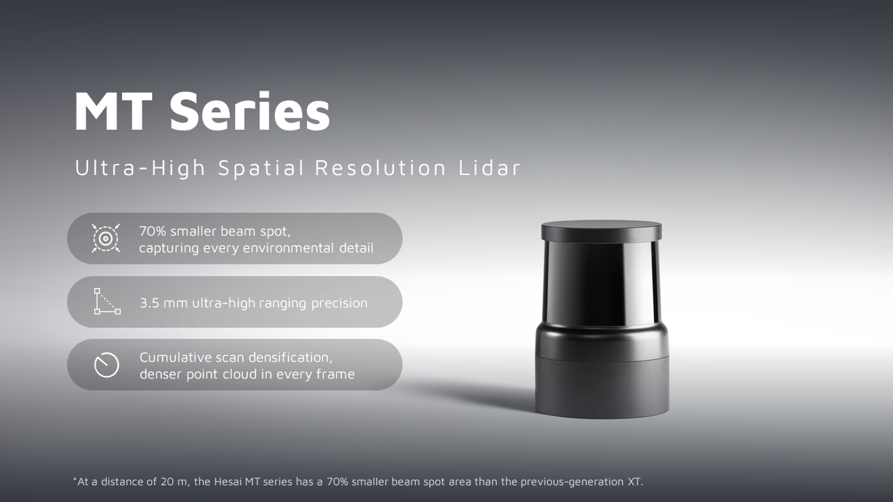
Built on Hesai’s extensive lidar expertise and deep understanding of the market, the MT series packs three key innovations: an ultra-small beam spot, ultra-high ranging precision of 3.5 mm, and cumulative scan densification, into the smallest form factor in its class.¹ Together, these capabilities deliver exceptional spatial resolution and capture finer, denser 3D data, setting a new benchmark for high-precision 3D lidar for mapping.
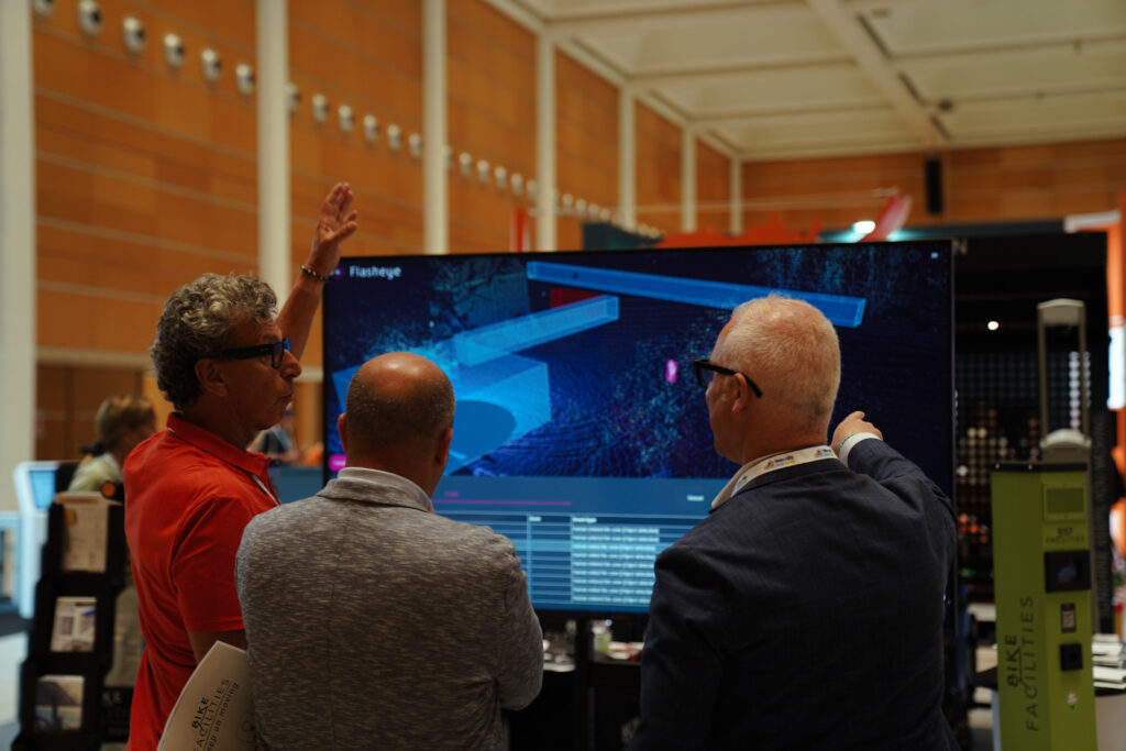
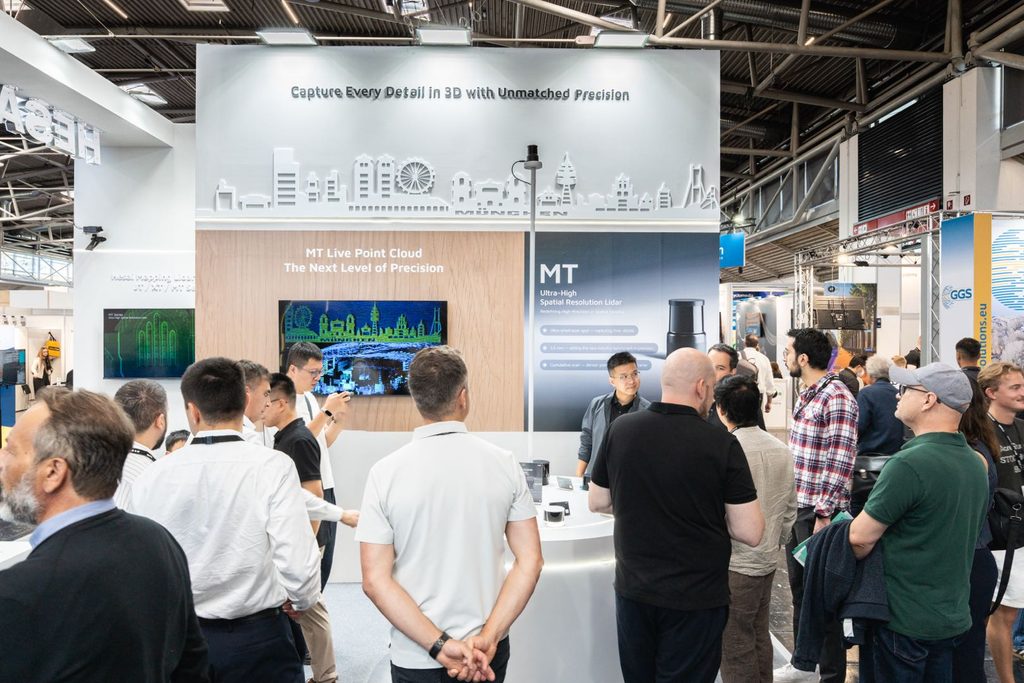
INTERGEO is a key showcase for the latest technologies and emerging trends in high-precision 3D modeling. Making its official debut at INTERGEO 2026 in Germany, MT drew significant industry attention and has already been integrated into NavVis VLX 4, the latest wearable capture device from NavVis, a global leader in reality capture and reality data management.
According to on-site statistics from INTERGEO 2026, Hesai lidar achieved a market share of over 70% in surveying and mapping applications, ranking No. 1 globally in the high-precision 3D modeling lidar market. From adoption by leading customers to a commanding market share, Hesai continues to reinforce its leadership in high-precision 3D mapping through industry-leading lidar technology and proven market performance.
High-precision 3D mapping demands exceptional spatial detail, data accuracy, and acquisition efficiency. Designed around these needs, Hesai MT series takes 3D spatial data capture to the next level. Its ultra-small beam spot captures fine structures, complex edges, and narrow spaces with greater precision. Ultra-high ranging precision of 3.5 mm delivers highly accurate spatial geometry, while cumulative scan continuously builds denser, more complete point clouds.
Together, these capabilities enable MT to capture more accurate and reliable real-world spatial data, improving both the quality and efficiency of 3D reconstruction while providing a higher-quality data foundation for applications including high-precision 3D modeling and digital twins.
70% Smaller Beam Spot, Finer Details Revealed
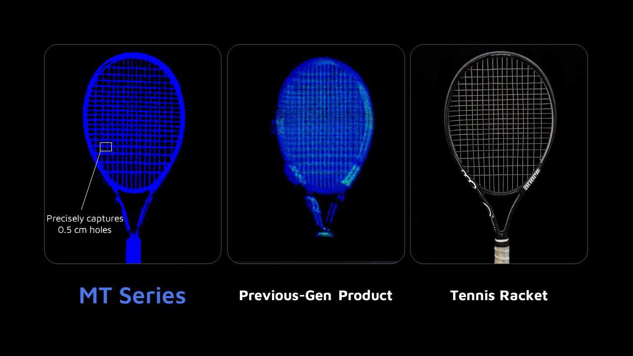
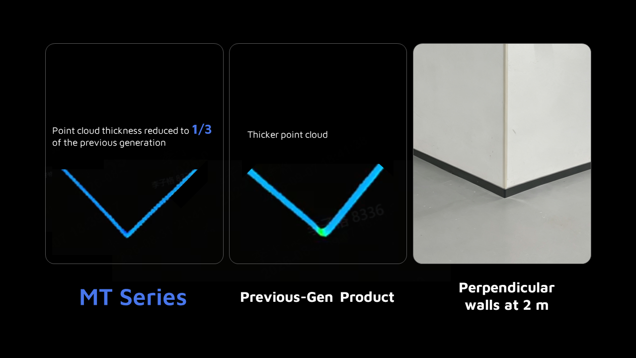
Hesai’s MT series features an upgraded laser transmission module and precision optomechanical design for finer beam control, reducing the beam spot area by 70% compared with the previous generation.² The smaller beam spot minimizes the area covered by each laser pulse, allowing MT to capture object boundaries and structural details with greater precision while reducing mixed returns between adjacent targets.
The result is finer, cleaner 3D data for high-precision 3D mapping.
From thin pipes and narrow gaps to building corners and intricate equipment edges, MT reduces mixed returns and detail loss, preserving clear object contours and structural details even in complex environments.
In challenging environments such as dense forests and industrial facilities, complex structures can make data capture more difficult. Overlapping foliage, intertwined pipelines, and narrow gaps can cause occlusion and mixed returns, resulting in missing point cloud data and repeated scans. With enhanced gap detection enabled by its ultra-small beam spot, MT captures more data through gaps in dense foliage, revealing terrain beneath the canopy and multi-layer vegetation structures. In buildings with complex networks of pipes, cables, and equipment, MT captures data through narrow spaces with less occlusion and fewer mixed returns, enabling clearer reconstruction of intricate pipeline structures.
3.5 mm Ultra-High Ranging Precision for Precise Spatial Reconstruction
In high-precision 3D mapping, ranging precision is critical to the fidelity of 3D data and the usability of the resulting models. Higher ranging precision helps minimize accumulated errors during point cloud registration, stitching, and reconstruction, resulting in models that more faithfully represent real-world geometry.
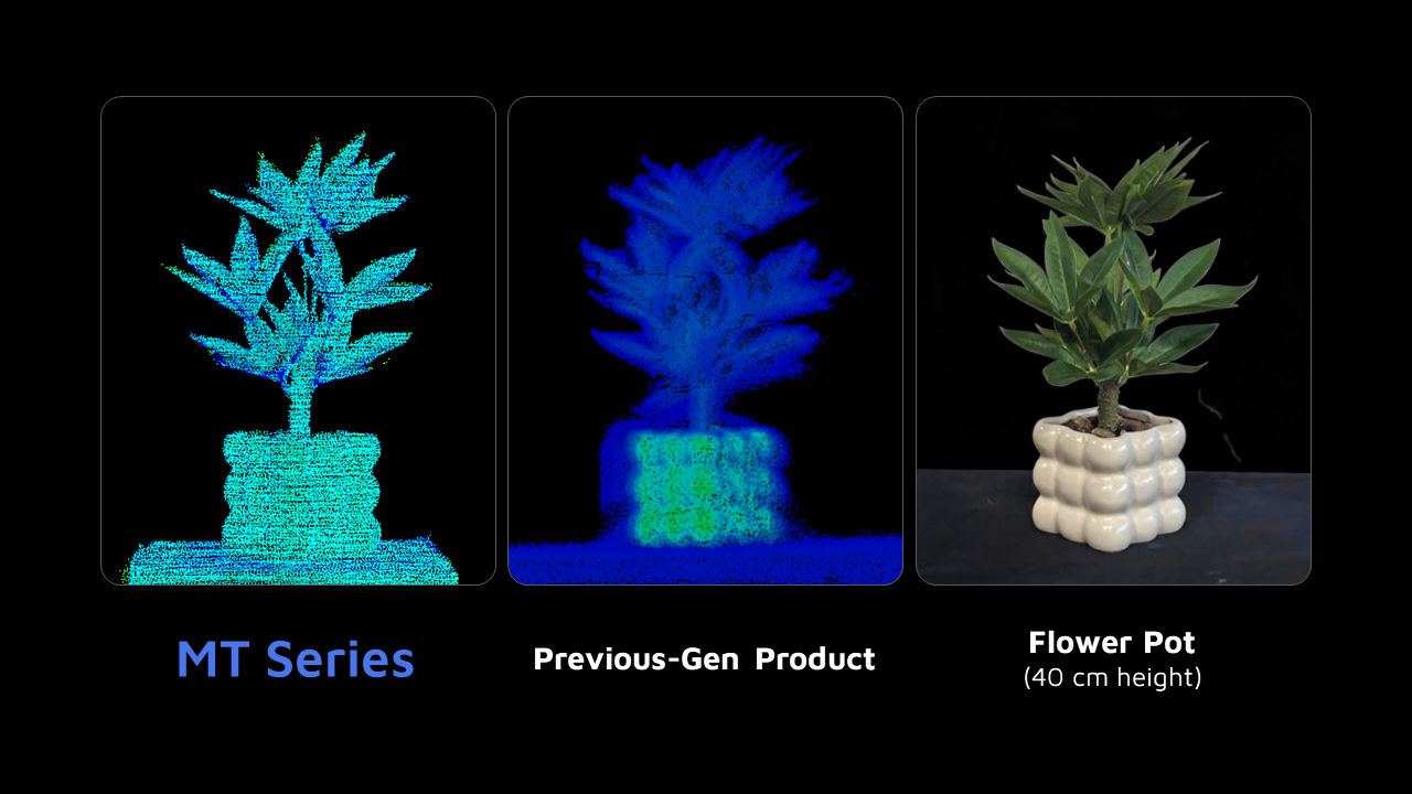
Hesai’s MT series delivers 3.5 mm ultra-high ranging precision, a 30% improvement over the previous generation.³ This enables cleaner, smoother point cloud surfaces and more accurate geometric contours, with dimensions, shapes, and spatial positions that more closely reflect the real world.
For applications where geometric precision is critical, such as buildings and industrial facilities, MT reduces the need for post-processing calibration and model correction, providing a more reliable data foundation for engineering surveying, digital twins, and detailed 3D modeling while improving overall workflow efficiency and reconstruction quality.
Cumulative Scan Densification, Denser Point Cloud in Every Frame
In high-precision 3D mapping, capturing dense, complete 3D data within limited operating time is key to both modeling quality and acquisition efficiency. Hesai MT series features cumulative scan densification, continuously adding new sampling points to previously uncovered areas as scanning continues. The result is progressively richer spatial detail and more complete point clouds over time.
Unlike conventional non-repetitive scanning, MT uses a uniform densification mechanism to distribute newly captured points more evenly across the entire field of view. This continuously increases point cloud density while reducing data gaps caused by uneven sampling. For detail-rich areas such as equipment interfaces, dense pipelines, building corners, and intricate architectural features, users can simply extend the scanning time to capture denser, more complete spatial data. This provides a more reliable data foundation for digital twin modeling, dimensional measurement, and detailed data analysis.
MT series plaster bust scanning results.
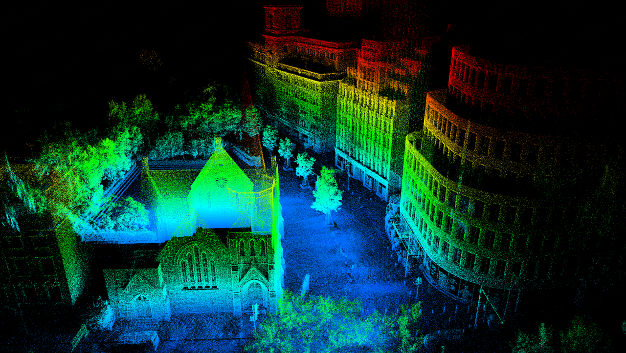
MT series SLAM scanning results.
World’s Smallest Form Factor for Easier, More Efficient Scanning
High-precision 3D mapping often involves long, continuous hours of fieldwork, making device weight an important factor in both user experience and operational efficiency. The MT series weighs just 300 g with a diameter of 6.4 cm, over 40% lighter than the previous generation. Its lightweight design reduces fatigue during extended handheld operation, making on-site data capture easier and more flexible.
The MT series also offers a field of view of up to 320° × 60°, with 1.5× the vertical FOV coverage of the previous generation. The expanded FOV captures a larger area in a single scan, reducing device movement and repeated data collection while further improving acquisition efficiency across large building interiors, industrial facilities, and complex outdoor environments.
From its lightweight design to expanded spatial coverage, MT combines portability with high performance to make high-precision 3D data capture easier and more efficient.
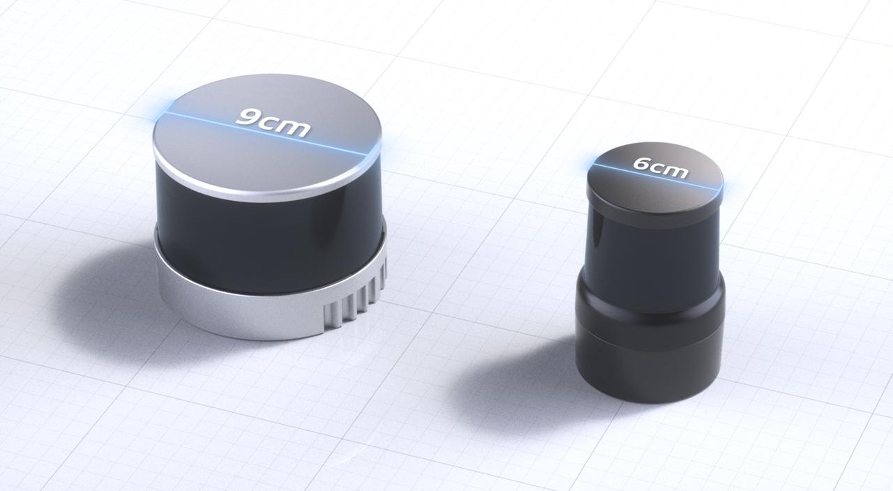
Hesai MT series and previous-generation product size comparison.
Hesai’s MT series is integrated into NavVis VLX 4, the first NavVis capture device to deliver true 3 mm point cloud resolution in dynamic scanning. The integration builds on collaboration between Hesai and NavVis during MT development, combining Hesai’s lidar engineering expertise with NavVis’ experience in survey-grade mobile reality capture to support high-detail Scan-to-BIM, MEP and industrial workflows.
Hesai is committed to delivering reliable, high-quality lidar products to customers in the AEC and mobile mapping industry. To date, Hesai has supplied its high-precision lidar solutions to more than 270 customers in the industry across over 20 countries, maintaining a leading position in the global high-precision 3D mapping market.
As spatial intelligence continues to advance, highly precise and reliable 3D data is becoming a critical foundation for Physical AI to perceive, understand, and interact with the real world. To meet this growing demand, Hesai introduces its next-generation flagship lidar series, MT, delivering higher spatial resolution, greater ranging precision, and more efficient data acquisition to provide high-quality 3D data for high-precision 3D mapping, digital twins, and industrial intelligence, accelerating the digital and intelligent transformation of the physical world.
Notes:
(1) MT is the smallest publicly available lidar in its class for surveying and mapping, with 40% reductions in both size and weight compared with the previous-generation XT.
(2) At 20 m, MT’s beam spot area is 70% smaller than the previous-generation XT’s.
(3) MT delivers 30% higher ranging precision than the previous-generation XT.
(4) Except for the SLAM point cloud, all MT point clouds shown in this article were captured in non-repetitive scanning mode with the sensor stationary and accumulated over 120 frames. The previous-generation XT point clouds were captured while the sensor was in motion using repetitive scanning and accumulated across multiple frames.